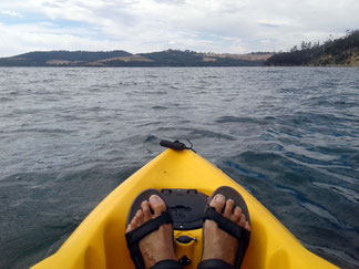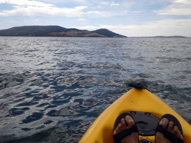
I had a marvellous few days staying at Snug Beach recently, and I was lucky enough to be able to borrow a kayak while I was there. Kayaking is one of my favourite things to do, and my favourite and most adventurous kayak trip while staying at Snug was out to the end of Coningham peninsula, along the Coningham Nature Recreation Area (NRA) – it was also particularly memorable for another reason that I’ll come to. The Coningham Nature Recreation Area is wild and very beautiful – it’s all eroding sandstone cliffs, sandy bays, and bush along the sea edge.
Coningham
Before I got to the Coningham NRA I passed along the waterfront of Coningham residential area, which has a couple of lovely beaches which are popular with the local residents.
I stopped at this at this little deserted beach for a break and to stretch my legs (although this little kayak is surprisingly comfortable):
Boat sheds on the beach
Around the corner at the next beach I came across some boat sheds. These ones are not as cutely painted-up as the ‘beach boxes’ that I saw at Mount Martha on the Mornington Peninsula in Victoria; but then, they probably aren’t worth a quarter-of-a-million dollars each, either!
Here’s the other end of the beach, which terminates at some sandstone cliffs.
This is the view back to Snug Beach, with Kunanyi (Mount Wellington) in the distance:
Sandstone cliffs
There are sandstone cliffs all along the Coningham peninsula; their cream and tan colouring looks lovely against the varied greens of the changing depth of the water.
Natural sculptures
Some of these cliffs are a little more protected from the worse of the weather that happens (although, it certainly didn’t happen while I was there) and have been eroded into remarkable shapes. Here’s some that look like a giant pair of armchairs with side-tables!
Here’s a closer view of one of them:
And here’s the other side-table:
Isn’t that cute?
Coningham NRA
This is the end of the Coningham peninsula – I went right out past the end and around the corner (see my route, captured with Handy GPS, in the ‘aerial’ view at the end of this blog):
This is the view across North West Bay from near to the end of the peninsula to Tinderbox peninsula, which forms the eastern side of the bay:

The perilous return journey
When I reached the end of the peninsula the wind picked up and it became quite choppy, with some breaking waves. I didn’t take any photos out there because the water was so choppy that I wasn’t game to take my phone out of its waterproof bag!
I've had plenty of experience paddling in choppy water and I felt very comfortable with it, but this little kayak (less than three metres long, whereas I am used to kayaks around four to five metres long) is really slowed down by ploughing through the chop. I took a more direct line on the way back across Snug Bay to Snug Beach to shorten the journey, which meant being further from the shore – about 500 metres.
Half way across Snug Bay I realised that the kayak was starting to handle a bit strangely, and was getting even harder to push through the chop. I suspected that it was taking on water! There was nothing to do but keep going and by the time I got back to Snug beach the boat was just about tipping over rolling in the swell! On the beach I emptied out, at a guess, maybe 30 litres of water – It was like I had been carrying a six-year-old child on my little boat. I think that the chop splashing over the boat was getting in around a hatch cover that is set into the floor of the boat, which normally stays dry; but with the chop pushing water up through the scuppers it was getting very wet. I checked it closely and found that it has sand in its seal.
I did nine kilometres of paddling on the whole trip, which felt more like fifteen kilometres in this little sinking boat! Here’s a Google Earth ‘aerial’ view of the route that I took, starting at the right-hand end in this view:
Would you like to add something, or ask a question? Add a comment below (you can leave the 'Website' field blank):


