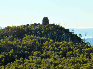
My current house sit in Bridgewater, southern Tasmania, has put me in an area with some great bushwalking opportunities. One of these opportunities is Platform Peak, just outside of the nearby town of New Norfolk.
The walk to platform Peak is through forestry reserve land, which means that it is public land with a low level of environmental protection (it could be logged one day) and minimal walking facilities, such as maintained tracks and sign posting. This means that more care in planning and execution is required, compared with walking in a national park.
The walk is, at least mostly, on formed tracks rather that finding your own way through untracked bush.
Walking the track
The reserve is quite isolated and is surrounded by large acreage private properties, of a very ‘rustic’ nature. For example this shed is on the edge of the path near the start of the walk:
Apart from this shed’s generally uninviting ambience, you may notice that it has been used significantly for shotgun target practice, and is covered in shot holes! Here’s a close-up, in case you can’t make them out:
In fact, I heard some gun shots coming from a nearby property on the way back near the end of my walk – but don’t let me put you off!
Navigating the track
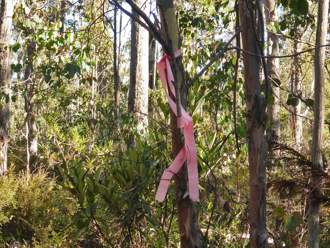
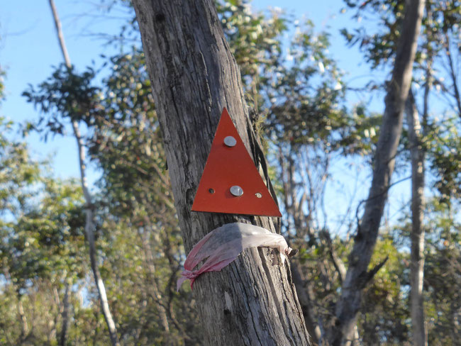
As always these days, I navigated using the Handy GPS app. on my phone, which makes it just about impossible to get lost, although it’s not fine-grained enough to keep you to an exact route if there is nothing else on the ground to help you. Finding my exact route was made much easier by previous walkers who had marked the track regularly with pink tape (which won’t last long), and occasionally with metal markers nailed to trees (which will last much longer).
The quality of the track varied from a wide four-wheel-drive-vehicle (SUV) road, to a narrow four-wheel-drive-vehicle track, like this:
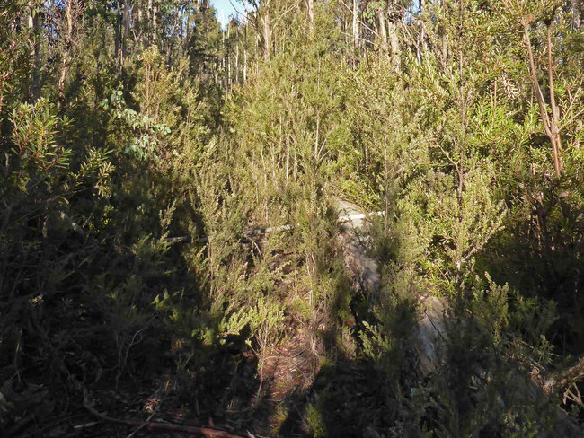
And to pushing through the bush with almost no visible track, like this (if you look carefully, you will see that there is a pink tape marker in this picture):
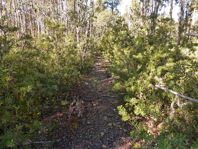
However, a lot of the track was a good obvious track like this:
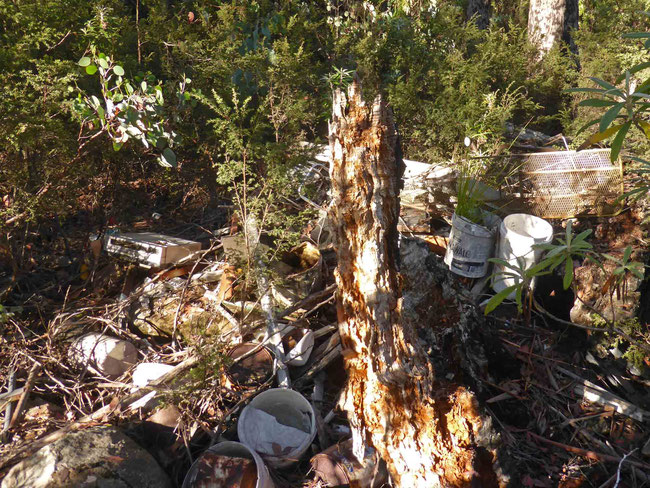
Unfortunately, anywhere on public land with minimal environmental protection, where you can get a four-wheel-drive vehicle in, some people will take the opportunity to bring in their rubbish and dump it, so you come across little rubbish dumps like this:
Someone even went to the trouble of bringing in a disused office photocopier:
The views from the top
The walk is mostly moderate climbing or fairly flat, with a last steep climb to the top of the peak.
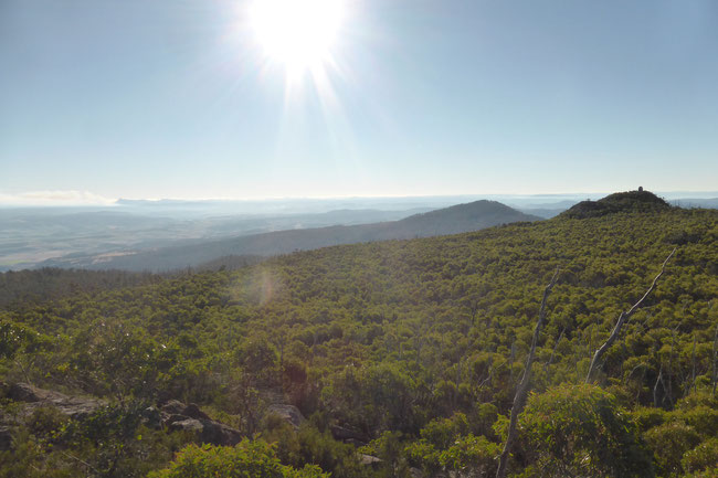
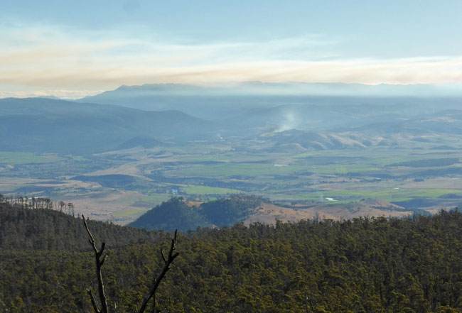
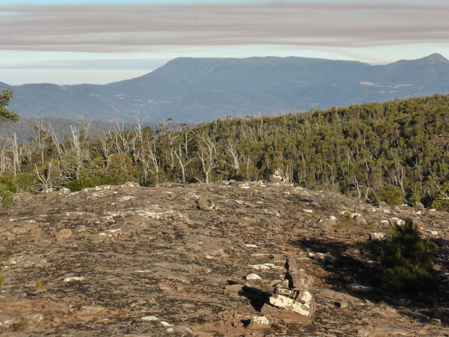
Apart from the very beginning of the walk, which has some nice rural views with a mountain backdrop, views are very limited until you get right to the top; but when you do get to the top, which is at 970 metres above sea level, the views are excellent from the several rocky platforms at the peak. Here’s the view looking north across the ‘platform’ of the peak:
The small hill with the tower on it is at the other end of Platform Peak.
And here’s the view looking north-west towards farmland:
There’s smoke from quite a few bushfires, probably mostly intentionally-lit fuel-reduction burns.
This is the view looking west from the peak:
This is looking south to Kunanyi (also known as Mount Wellington), near the centre of the horizon, which is on the outskirts of Hobart:
By the time I walked down from the peak it was late afternoon, and the warm glow of afternoon light (which always seems undefinably beautiful in Tasmania) was illuminating the mountains to the south:
I stopped on the drive back down the mountain to take another photo of the mountains to the south as the afternoon glow intensified:
There’s a bigger bush fire here, which gives the impression of a volcano.
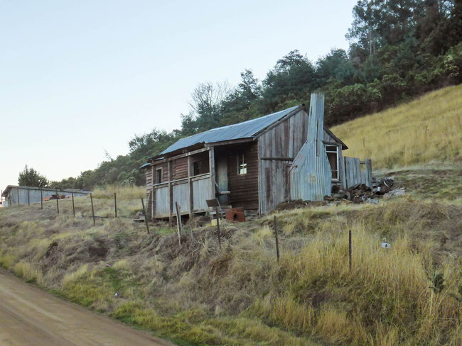
The walk to Platform Peak starts at the end of a fairly long and narrow dirt road through some lovely rural scenery. Here’s a cute old shed on the side of the road; as it has a fire place it was possibly built to house seasonal farm workers:
Walking this track
This walk was a little more isolated and unformed than I expected, especially as I was walking alone. While I did tell someone where I was going, where I was parking the car, and when I was expecting to get back, in retrospect I left it a little late in the day with little spare time if things had gone wrong, which they didn’t. However, I did carry waterproof clothing in case I got caught out.
The walk is not too far from civilisation, so I had phone coverage with my own mobile phone carrier most of the way, dropping back to emergency-call-only coverage with other carriers occasionally, and I never saw coverage disappear altogether. (In Australia, as in most countries, emergency calls can be made on any available network signal regardless of the carrier; usually, you don’t need to have the phone registered with a carrier or even have a SIM card in the phone to make emergency calls.)
If you are considering coming to southern Tasmania and doing this walk you must have a serious map and a compass and know how to use them, or, as I did, have a GPS app on your phone or a GPS unit with the route loaded. As this bushwalk is through fairly dense bush, there are few opportunities to see landmarks to orientate yourself, and, as there is no signage, it would be very easy to become lost in the myriad tracks that run through the bush here, so don’t try this walk unless you have the right equipment and skills.
The walk is 11.3 kilometres long, climbs through just a little less than 400 metres of altitude, and took me about three hours to complete, including thirty minutes on the summit.
Here’s a Google Earth aerial view of my walk:
To get to the start of this walk you can park your car at the end of Braslin’s road, here on Google Maps, and then continue on past the forestry gate.
You can download my KML file for your GPS app. or GPS unit here, to help you to find your way.
Share this The Journey and the Destination post using your favourite social media:
Would you like to add something, or ask a question? Add a comment below (you can leave the 'Website' field blank):







Chris (The Journey and the Destination) (Sunday, 27 January 2019 11:13)
Thanks for the reassurance, Dougie!
You picked a lovely area to live in. I'll find my way up Mt Dromedary, too, one day.
Dougie (Sunday, 27 January 2019 09:22)
Hey mate.
I found your review after doing this walk today with my son.
There is a high chance i'm the property owner that was shooting that you make reference of. the old shed was shot up well before we moved in!
Rest assured the local are friendly !!!
Around the world trip ideas (Saturday, 14 October 2017 09:44)
thanks for this beautiful post ,. I really like the way you have explained your thoughts and all of the images are suprb.