Bribie Island is a sand-barrier island that runs for over thirty kilometres south from Caloundra, where I’m staying.
The southern end of the island is quite developed, but the northern end near Caloundra is natural and wild, so it’s an attractive place to visit as a contrast with the highly urban development of Caloundra.
The island separates the Pacific Ocean’s Coral Sea on its eastern side from the quiet tidal waters of Pumicestone Passage on its western side.
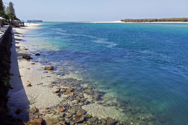
This is Pumicestone Passage at Caloundra, with Bribie Island on the right and the Caloundra foreshore on the left:
That’s a container ship going by the passage entrance on its way to the Port of Brisbane.
visiting the island
I’ve visited the northern end of the island a few times in the past either by kayak or by swimming, so I decided to visit again by swimming across to it from Caloundra.
A sand band extend north from the Island towards Caloundra, so at low tide the swim is only about 70 metres (not much more than one length of a swimming pool), followed by a bit of wading through shallow water to get onto the island.
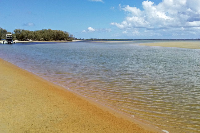
This is the swim location at high tide (this picture isn’t at the time of my swim, but the clear water coming in from the ocean with the high tide makes a better picture):
You can see the sand bar on the other side of the deep channel.
the ocean side
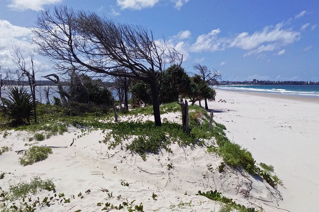
The ocean side of Bribie Island has a beautiful long natural beach. This is the beach looking south:
You can see the beach curving toward the horizon in the distance.
Four-wheel-drive vehicles (SUVs) can access this beach, but for some fortunate reason I rarely see them at this end of the island, which is great because they damage the beach and the things that live there, and completely ruin the natural ambience. Here in Australia we have the ironic situation in which the most natural and wildest beaches are urban or near urban ones where no vehicles are allowed, while remote beaches, such as in K’gari (Fraser Island) Great Sandy National Park, are full of speeding cars that make it dangerous to walk on the beach and which crush the life out of it.
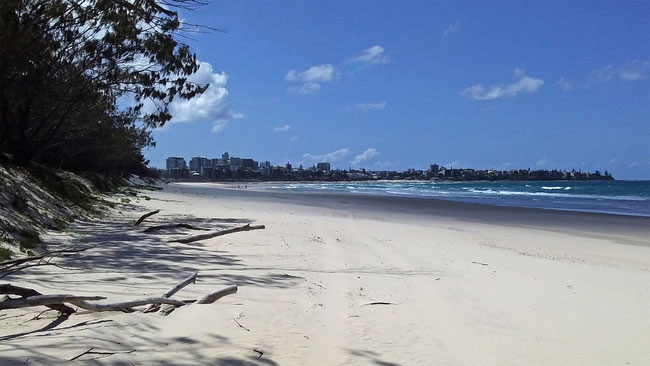
This is the view along the beach to the north with Caloundra and Kings Beach across on the other side of the Pumicestone Passage bar:
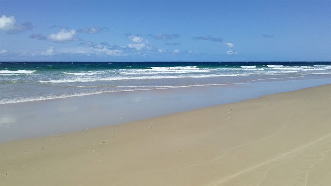
This is the view looking out into the infinite Pacific Ocean:
You can just see Moreton Island, another sand barrier island, on the horizon.
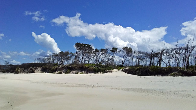
The beach is backed by dunes with vegetation.
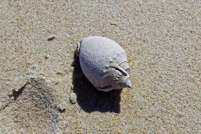
Here’s an old shell that I found on the beach:
the passage side
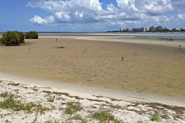
The Pumicestone Passage side of the island has a very different character – the water is calm and mostly shallow, so it presents very differently as the tide changes. It’s low tide here, with lots of exposed sand flats:
Here are some young mangrove trees growing on a sand bank:
The rows of spikes sticking out of the sand around the trees are pneumatophores – aerial root spikes that help the trees to deal with the waterlogged sand by taking in oxygen directly from the air.
crossing the island
This is a popular area for all sorts of boating so there are lots of visitors to the island, and consequently there are plenty of track between the ocean side and the passage side. Here’s one that I used:
A few hundred metres down the beach the island reduces to a very narrow neck, as you can see here:
You can see the Pacific Ocean to the right of the island, and Pumicestone Passage to the left.
This is the nearby shore line on the passage side of the island:
wildlife
There’s an encouraging amount of wildlife around Pumicestone Passage, wildlife that I used to see more broadly decades ago before all the coastal development happened and before four-wheel-drive vehicles took over most of the remote beaches.
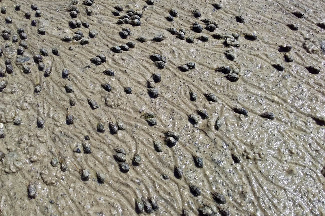
These are little whelks ploughing through the muddy sand:
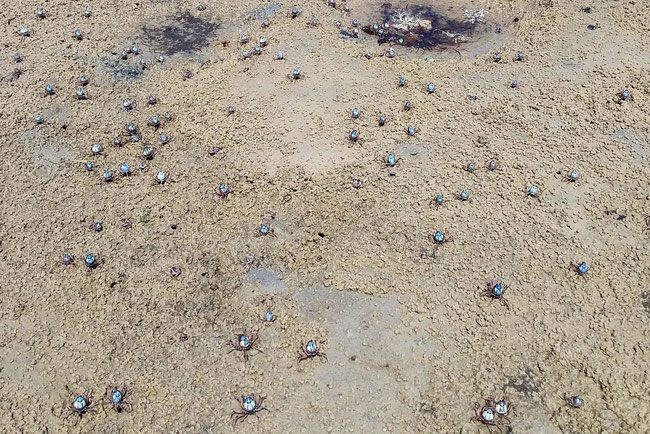
These are soldier crabs:
Soldier crabs move in herds of hundreds, or even thousands of individuals. I say “herds”, because I always feel as though I’m flying over an African plain looking down on herds of wildebeest when I follow them!
Here’s a closer view of a few of them:
It’s nearly impossible to get a close-up photograph of a soldier crab because, unlike a wildebeest, they can bury themselves in the sand in a few seconds if they feel threatened.
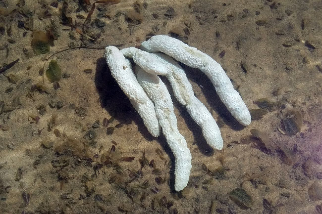
I’m not sure about this one – I think it’s a sponge:
Although, it could be Michael Jacksons’ other glove.
my walk
I walked about eight kilometres on Bribie Island. Here’s a Google Earth view of my walk, which I recorded on my smartphone using the Handy GPS app:
The underlying image comes from Google Earth and is not current, so it appears that I swam much further than I did as the sand bars have moved since it was taken.
I took the photos in this post using my phone, as I had no way of swimming across to the island with my camera. As the day was very bright the pictures came out fine.
epilogue
A few months after my visit to the island here was some very heavy weather with big rough seas and very high tides, and the ocean broke through the island at the narrow neck. Sand islands like Bribie Island are always changing shape and this new opening may become semi-permanent. You can see pictures and videos of the opening on the ABC (Australian Broadcasting Corporation) news website, here.
Tags
If you enjoyed this blog post, you can find related posts under these headings:
Share this The Journey and the Destination post using your favourite social media:
Would you like to add something, or ask a question? Add a comment below (you can leave the 'Website' field blank):

