We are in Como in northern Italy for a few days between housesits. The people we are next housesitting for in Castronno told us about a great bushwalk in the mountains around Como, so we decided to walk it while we are here.
The walk runs along a high ridge above the shore of Lake Como, with great views of the lake and its surrounding towns.
the village of Brunate
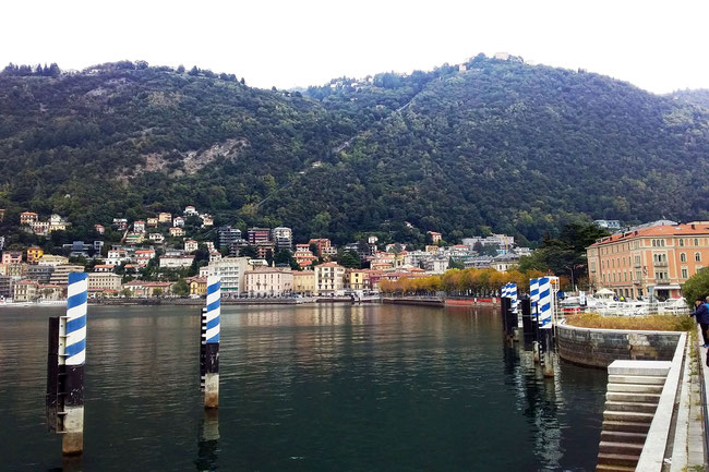
To access the beginning of the walk we first have to catch a funicular tram to the little village of Brunate, on a hill above Como. This is Como’s lakefront, with the edge of Brunate just visible at the top of the hill:
You can make out the funicular track running steeply up the hill in the middle of the picture.
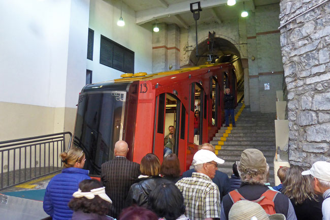
This is the funicular tram, about to head up the hill:
The tram climbs 500 vertical metres.
Having just come from a housesit in the Swiss Alps, the tram ride was an introduction to the different cost of travelling in Italy. In Switzerland, a nearby cable car ride with a similar height gain (to Oeschinensee) cost 22 Swiss francs, (AU$32); we were pleasantly surprised to be charge three euros (AU$4.70) for the ride to Brunate!
Brunate’s position gives the village marvellous views to the surrounding alps:
We didn’t spend much time sightseeing in Brunate because we were keen to head off on our bushwalk, but we did pass one interesting and ornate church as we made our way through the village:
the walk
The route headed off on a twisting but generally level path towards our destination, the mountain village of Monto Piatto, where we planned to have lunch at a recommended café. The views of Lake Como and surrounding villages from the path were magnificent:
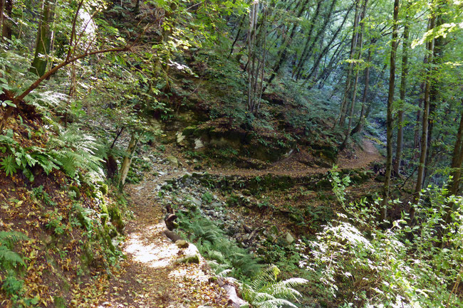
The path was mostly through forest:
Here’s a cute rough wooden bridge across a gully on the route:
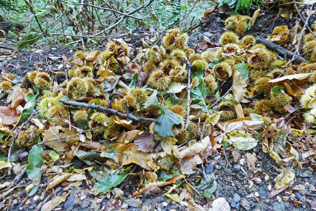
In many places, the path was covered in drifts of the spikey seed pods of chestnut trees:
We passed a sweet little chapel just before we arrived at Monte Piatto:
The path squeezed between the houses of Monte Piatto:
Unfortunately, when we got to the café in Monte Piatto we found that it was closed! We headed down the hill to Torno, to see if we could find any lunch, and to catch a ferry back to Como.
the descent and Torno
The descent from Monte Piatto to Torno is down an ancient donkey path that consists of thousands of dressed stone steps. The path winds its way down the 400 metre descent – those poor donkeys!
This is the last high view of the lake across the roofs of Torno, just before we dropped down amongst the houses:
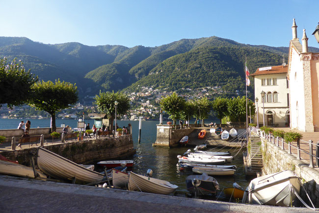
We did find a simple, but good, lunch in Torno, and then went to wait for the next ferry. The ferry terminal is at a little harbour next to an old church.
While I was waiting for the ferry I did some exploring around the harbour and slipped over on some slimy rocks at the water’s edge, bruising my tailbone and damaging my camera. Fortunately, I didn’t break my tailbone and was still able to walk, although I was sore for a week, but my camera was beyond repair!
The route
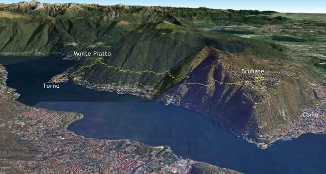
The whole walk from Brunate to Torno was 8.7 kilometres long. Here’s a Google Earth aerial view of the walk:
Tags
If you enjoyed this blog post, you can find related posts under these headings:
Share this The Journey and the Destination post using your favourite social media:
Would you like to add something, or ask a question? Add a comment below (you can leave the 'Website' field blank):

